🌐 Sumatera Barat · Kota Padang

Land Emergency? Check Out the Annual
Land Conversion Trends in Padang City

Mracking land use shifts in Padang City objectively through satellite imagery and spatial data.
Preview Peta

Land Classification

Our system categorizes land use in Padang City into three main pillars based on analysis of Sentinel-2 satellite imagery

Agricultural land

MIt is the main source of livelihood for thousands of farmers in Padang and the surrounding areas.

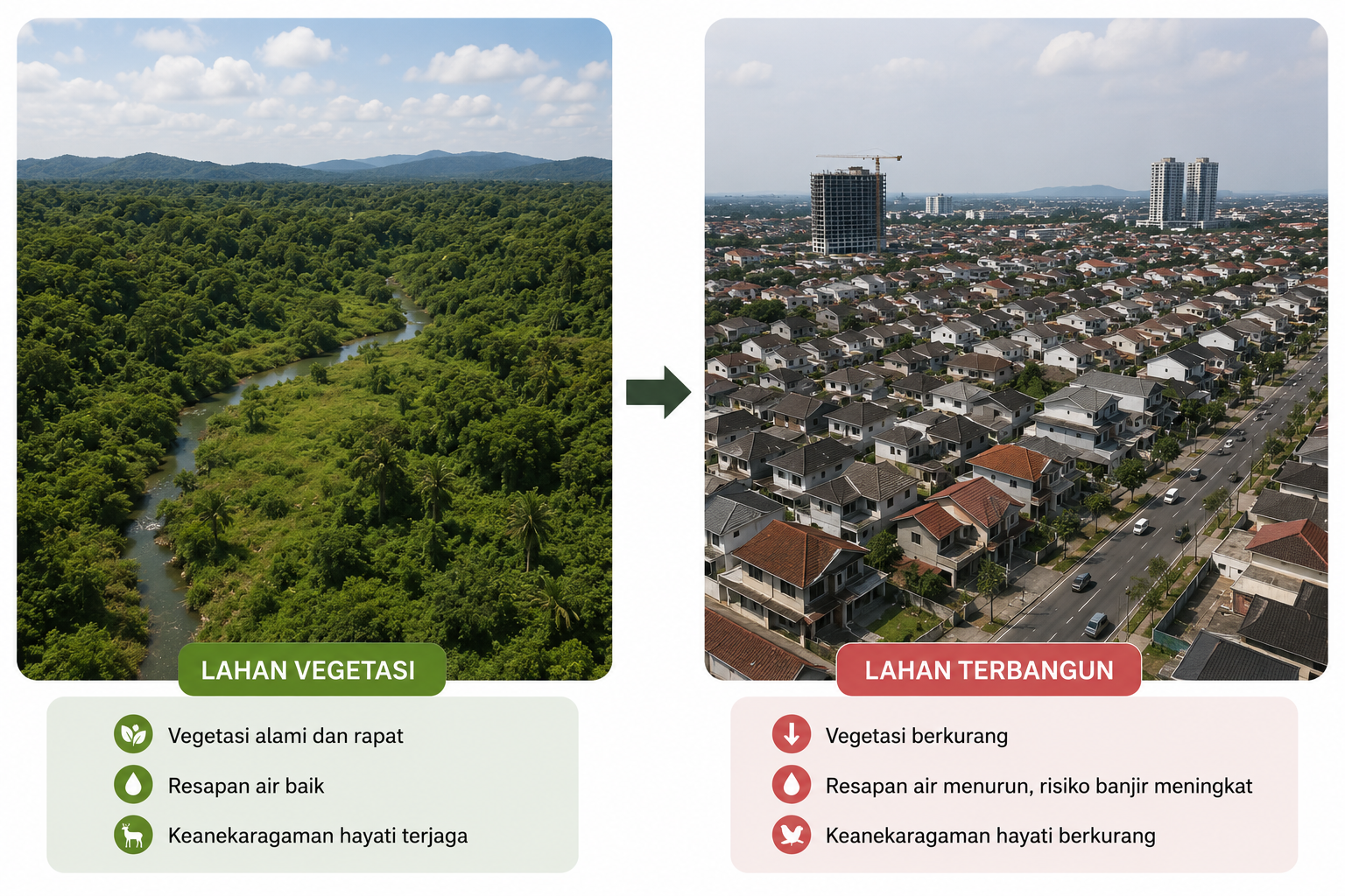
Built-up Land

Residential areas, city infrastructure, and public facilities. This data is expected to be used to evaluate the effectiveness of regional spatial planning.

Vegetation

Includes urban forests, green open spaces, and protected areas. Plays a vital role in natural disaster mitigation.

Factors and Impacts of Land Conversion

Factors and Impacts of Land Conversion

  • Population growth is driving the need for new housing and facilities in Padang City.
  • The land's proximity to main roads, economic growth centers, and strategic areas makes it more vulnerable to conversion.
  • The economic value of built-up land tends to be higher than that of agricultural land, encouraging land conversion by land owners.
  • The lack of consistently enforced spatial planning regulations in a number of suburban areas.

Impact of Land Conversion

  • Reduction in the area of ​​vegetation and green open spaces that function as water absorbers and flood mitigation.
  • The reduction in productive agricultural land has the potential to reduce local food security in Padang City.
  • Increased risk of environmental degradation, including changes in surface water flow patterns in areas that are changing function.
  • Changes in urban spatial structure need to be balanced with adequate infrastructure planning